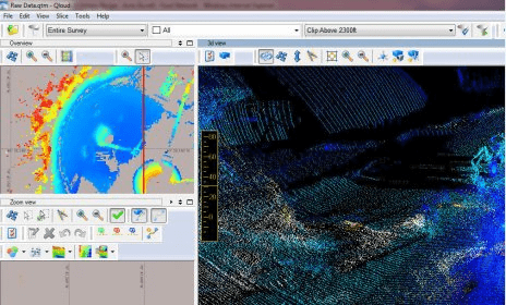
Your objective is to use one software system to collect bathymetry, sonar data and magnetometer data, process this data, produce charts or even produce S-57 Electronic Navigation Charts(ENC).
QINSy is a suite of hydrographic applications that covers that whole range of activities, from data acquisition to chart production.
This program installs the application updates and licenses to your controller.

Create and get statistics about the data gathered in dental surveys.


Comments